‘The lock’ to Rainham Road
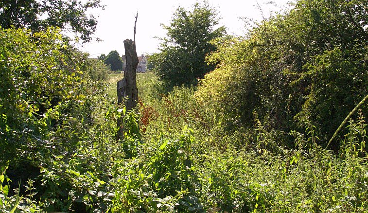
A depression is obvious here, although there doesn’t seem to be any trace of the lock chamber walls now, perhaps the stones were taken away and used elsewhere. Who knows, but this old tree stump that rises vertically appears to indicate perhaps a hard standing that formed the earthworks constituting the sides of the chamber. A glance along the Beam Valley Country Park path shows that the land does indeed rise here so there is no doubt the lock stood at this point.
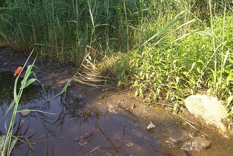
Its very difficult to see any of the canal itself, the whole route is extremely overgrown. However just to the north of the former lock site there’s a path across the old canal bed and it can be seen that it still retains water.
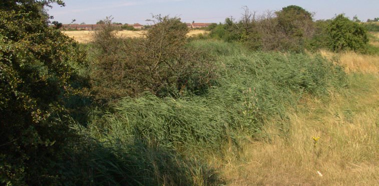
The overgrown canal route about mid way between Beam Bridge and Rainham Road, near a Pill Box. Several WW2 defences can be found along the old canal route, typical of wartime when the military found that canals made a useful defence line against invading armies.
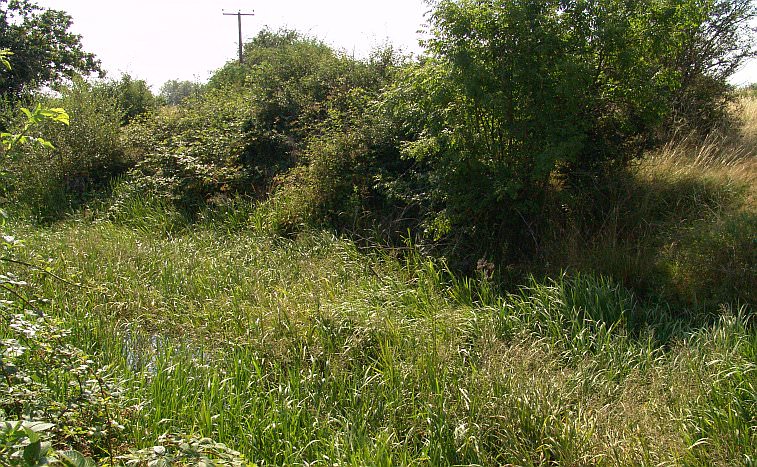
Another section, showing a better profile of the Romford Canal’s channel, with water in it.
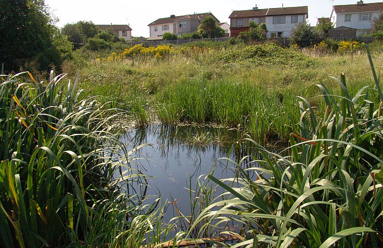
These houses in Canberra Crescent, Rainham, have a good view of the Beam Valley and a substantial length of watered canal.
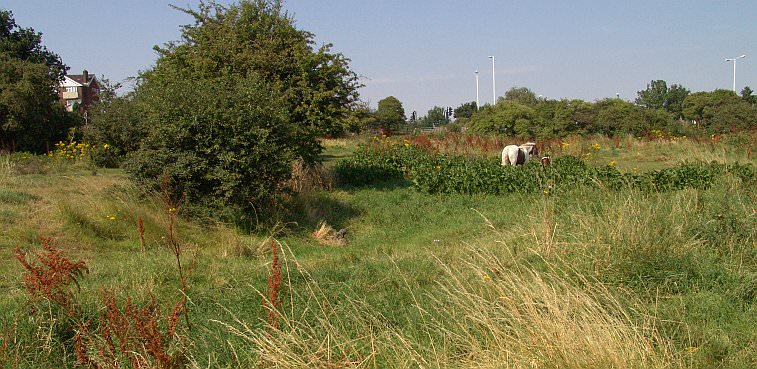
The remains of the canal fizzle out here. A slight depression can be seen at this point but where the horses are nothing more can be seen until the far side of Rainham Road (street lights and pedestrian crossing can be seen in the middle of the picture). The section of canal featured on this page is shown on most OS maps.
NEXT: Towards Manor Road
The Romford Canal pages:
Ford’s Works to New Road / River Beam to Beam Bridge lock / The lock to Rainham Road / Rainham Road to Elm Park / To the LTSR embankment / Into Romford


