Clack Lane Aqueduct to the Railway
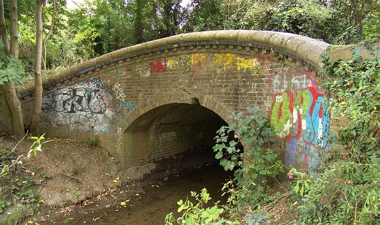
As aqueducts go, this is a bit of an odd affair. However it did carry the Ruislip canal feeder over the River Pinn. Clearly this rather elegant ‘bridge’ was meant to be functional and the canal feeder was carried on a large embankment across the Pinn valley, the bridge forming a culvert through which the Pinn flowed. As part of the 1930’s improvements (date inscribed on the bridge) a concrete channel was substituted, and this can clearly be seen.
The concrete channel is clearly seen in the above view. The top of the elegantly curved abutment can be see on the right in this view looking eastwards.
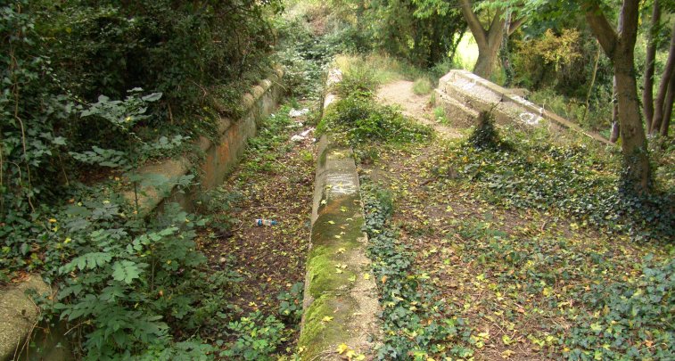
The course of the feeder disappears after the aqueduct, but it passed the bottom of Woodville Gardens and along the top edge of a field. Hedgerows more or less indicate the approximate course of the feeder as it heads towards Ruislip Golf Course. This is one location where the Hillington Trail signs should be ignored as they take one back to the River Pinn. Follow the hedgerow eastwards to the far end of the field and another overgrown and underused footpath crosses into the golf course area. The feeder is apparent for a short distance until its course is obliterated by the golf course.
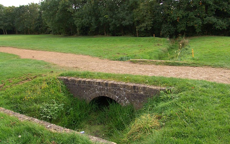
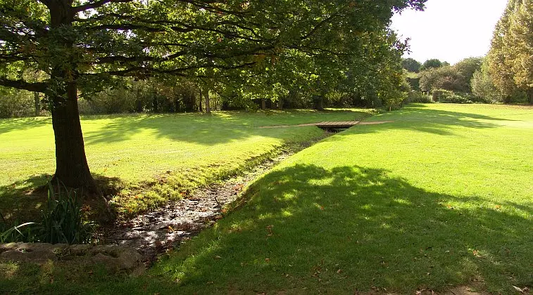
The Ruislip Golf Course has a number of streams and small lakes and deceptively simple flat fairways totalling 5753 yards. It was opened in 1922. A short distance across the fairway green an accomodation bridge can be seen. The feeder follows the line of trees in the background. The public footpath (not the Hillington Trail) follows the right hand side of the feeder and the course takes one round through a small woods to another section of the golf course where several accommodation bridges exist. At least one accommodation bridge can be seen in the undergrowth along this section. Basically the feeder traces a double inverted ‘s’ route through this part of the Ruislip Golf Course and the numerous drains that criss-cross the site only add to the confusion in determining the exact course.
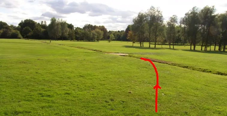
This view shows the feeder where it crosses a large part of the golf course. Many people think the feeder heads straight across this field, but in fact only part of it does. The red line indicates the approximate course of the feeder in this view looking southwards.
The route passes through another small corpse before hitting the third golf course fairway. There is an accommodation bridge (foreground) and on the far side a gate leads to the ‘tunnel’ which is in fact a passageway under the Marylebone – High Wycombe railway embankment.
NOTE: The next section is now changed considerably because of the HS2 construction work. The images show that the site looked before that work began.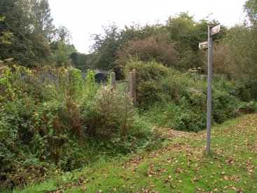
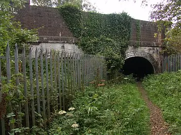
Left: The Hillingdon Trail signs can be reliably followed from this point southwards. The gate and the ‘tunnel’ can be seen. Right: View of the pedestrian tunnel. The canal feeder has its own tunnel on the left behind the fencing.
The pedestrian tunnel showing the curved alignment.
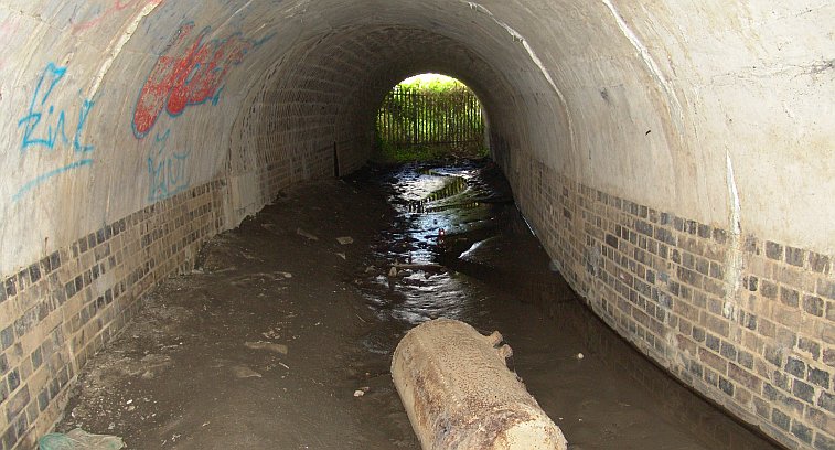
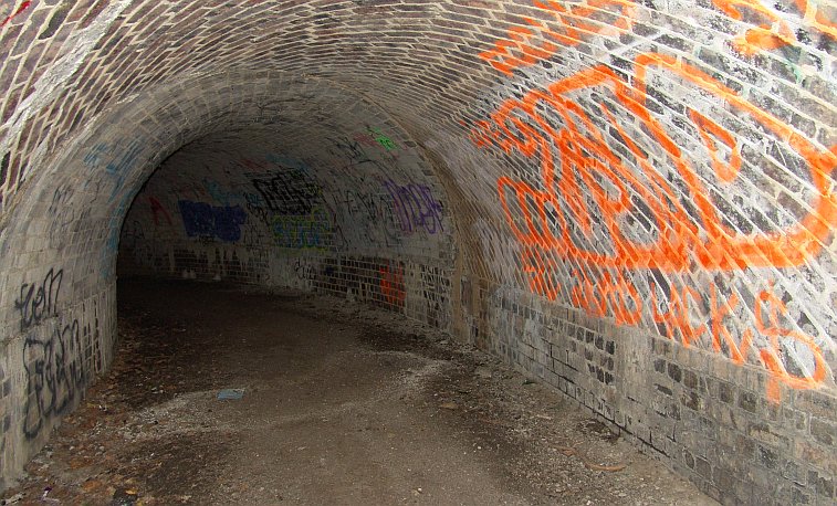
The feeder tunnel looking northwards.
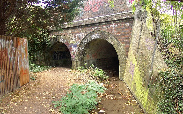
View of the two tunnels on the southern side. Pedestrian on left and feeder on right.
Next: West Ruislip via the ‘split bridge’
The Ruislip Feeder pages:
intro + the lido / the aqueduct / west ruislip / ickenham / north hillingdon / gutteridge wood / yeading / hayes
Updated 2026.


