From Ilderton Road to the Old Kent Road there isnt really anything to see of the canal’s route as the route is occupied by warehouses and various industries.
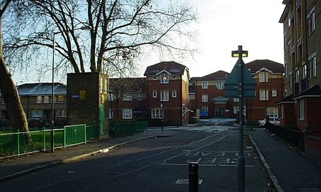
These houses at Varcoe Road, just off Ilderton Road, are actually built on the canal’s alignment.
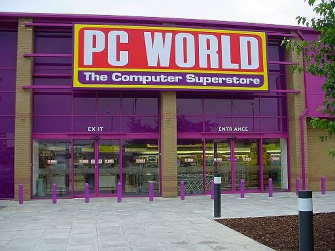
The PC World on the Old Kent Road stands on the canal’s course.
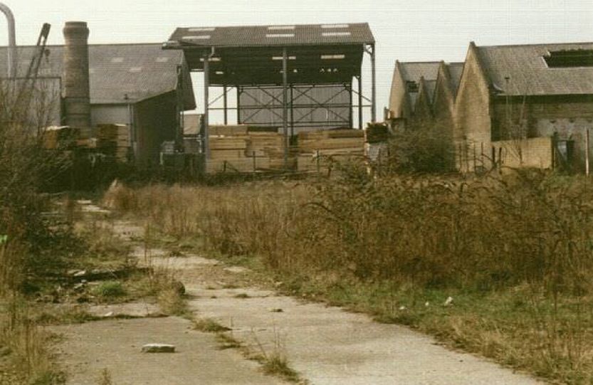
A look back in time to the 1980’s when there was still some semblance of a canal here. This is the canalside at Old Kent Road just south of the bridge. The concrete flooring is actually a wharf and mooring rings could be seen along here. Ahead is one of the canal’s many timber yards, this particular one which has survived to this day. Boats used to unload under the extended part of the roof. The open sided structure in the middle was added after the canal was filled in.
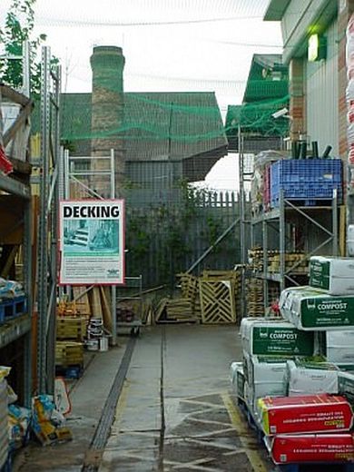
Not a brilliant before and after picture – since the huge B & Q store is in the way! But one can compare this with the previous 1980’s picture to see what has happened to the wharf at this point. Same chimney in both views!
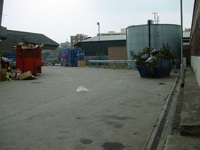
The canal as it turned from the Old Kent Road en route for Camberwell. This was the site of the large wharf which extended southwards from the canal at Old Kent Road. The buildings seen in the 1980’s photo can be viewed on the extreme left hand side.
Just past the Old Kent Road is this MacDonald’s car park. The canal ran behind the fencing at the far side of the car park. Beyond here to the junction with the Peckham branch and the main route to Camberwell there is no trace of the canal at all.
Burgess Park – Canal terminus

1949 aerial view of the canal between Old Kent Road and Camberwell. St. George’s church is very prominent. The junction with the Peckham branch can just be made out in the upper right hand side. Source: Twitter.
Albany Basin was the terminus of the canal, a little short of the Camberwell New Road. Burgess Park incorporates the entire Surrey Canal route west of Trafalgar Avenue, with the exception of Albany basin.
The canal was progressively closed in several phases, the section to Camberwell being the first to be closed and filled in. There were many accidents involving children from the local estates and this prompted the Port of London Authority decision to close this section down in the late 1960’s.
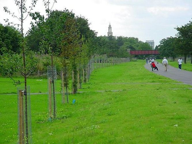
The footway through Burgess Park. The canal was sited on the left hand side as far as the ‘footbridge to nowhere.’
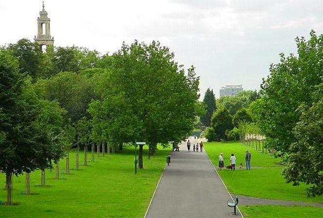
After the ‘footbridge to nowhere’ the Burgess Park footway runs ON the course of the canal.
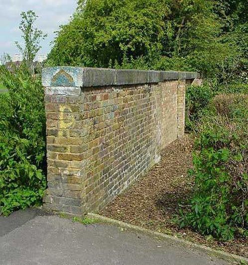
This isolated wall in Burgess Park to the rear of St Georges must have been associated with the canal in some way, probably forming part of a gated access.
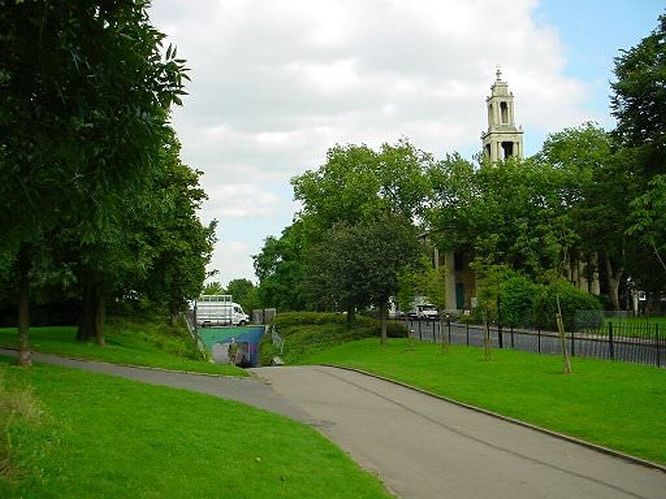
Underpass by St Georges Church, near Camberwell. One of the most famous pictures of the Grand Surrey Canal shows a large sailing barge moored up at this very spot, with the church and Wells Way bridge in the background.

The final stretch of the Grand Surrey Canal, somewhere past the Bridge to Nowhere. It was progressively drained between 1960 and 1970 starting with this section where Burgess Park is now. The next section to be drained was the Peckham branch junction to Old Kent Road, then Old Kent Road to ‘Surrey Canal Road,’ and so on with the last section between Plough Lane and Deptford being drained probably 1971. This picture is from a news report June 1960. The end of the canal at Camberwell New Road can just be made out. Source: Twitter.
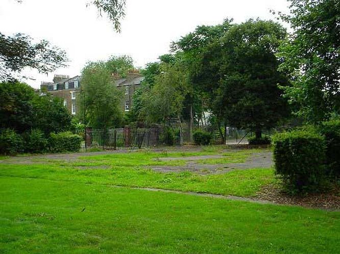
Part of the site of Albany Basin, Camberwell. The canal’s terminus was set back from Camberwell Road just off Addington Square. There used to be a group of canal buildings fronting onto the Camberwell Road – an archway led through to the canal basin.
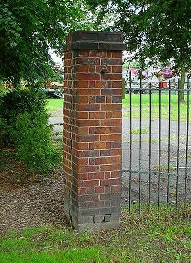
The remains of a gate pillar at Albany Basin.
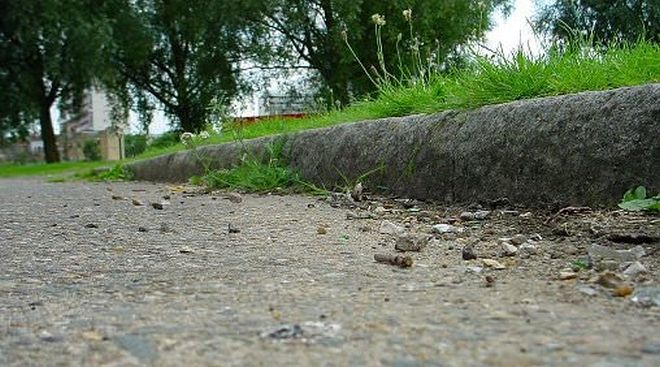
Part of the canalside wall at Albany Basin. It now forms a kerb on the footway at this location through Burgess Park.
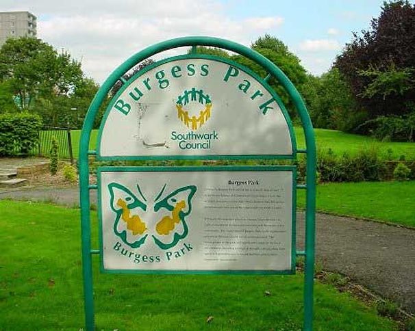
The sign on Camberwell Road welcoming visitors to Burgess Park.
No acknowledgement of the canal’s existence. Sad!
Next: Canal junctions & place names
Grand Surrey Canal pages:
Intro – A canal route from London to Portsmouth!
Old Surrey Docks route – The old canal route through the Surrey Docks
Greenland Dock – Plough Lane – The canal’s route to Plough Lane
Plough Lane – Evelyn Street – The canal’s route southward to Evelyn Street
Evelyn Street – Surrey Canal Road – The canal’s route west to Surrey Canal Road
Ilderton Road – Camberwell – The canal’s route to the terminus at Camberwell
Canal junctions & place names – Junctions and places named after the canal
Bridges & buildings – The canal’s structures
Peckham branch & canal wharves – The delightful branch and wharves of the canal


